
Forests are many things to many people as well as nature. One is the benefit of carbon fixation. Using new, highly efficient techniques, Carnegie and Colombian scientists have developed accurate high-resolution maps of the carbon stocks locked in tropical vegetation for 40% of the Colombian Amazon (165,000 square kilometers/64,000 square miles), an area about four times the size of Switzerland. Until now, the inability to accurately quantify carbon stocks at high spatial resolution over large areas has hindered the United Nations’ Reducing Emissions from Deforestation and Forest Degradation program, which is aimed at creating financial value for storing carbon in the forests of tropical countries. In addition to providing a key boost for implementing this program, the results from the Carnegie/Colombian partnership is a boon to tropical forest management and conservation by showing the benefits of forest carbon storage.
Forests are many things to many people as well as nature. One is the benefit of carbon fixation. Using new, highly efficient techniques, Carnegie and Colombian scientists have developed accurate high-resolution maps of the carbon stocks locked in tropical vegetation for 40% of the Colombian Amazon (165,000 square kilometers/64,000 square miles), an area about four times the size of Switzerland. Until now, the inability to accurately quantify carbon stocks at high spatial resolution over large areas has hindered the United Nations’ Reducing Emissions from Deforestation and Forest Degradation program, which is aimed at creating financial value for storing carbon in the forests of tropical countries. In addition to providing a key boost for implementing this program, the results from the Carnegie/Colombian partnership is a boon to tropical forest management and conservation by showing the benefits of forest carbon storage.
!ADVERTISEMENT!
Carbon sequestration or storage by terrestrial ecosystems is the net removal of carbon dioxide (CO2) from the atmosphere or the avoidance of carbon dioxide into the atmosphere (CO2) emissions from terrestrial ecosystems. The removal process includes CO2 uptake from the atmosphere by plants or forests, through photosynthesis. This carbon is stored as plant biomass (in the trunks, branches, leaves and roots of the plants) and organic matter in the soil.
Measurement of total carbon storage has been hampered by inaccessibility and vast stretches of forests requiring considerable personal investigation and study. The new method does it all remotely.
Colombian President Juan Manuel Santos Calderón remarked: "I am delighted to see these research results of the Carnegie Institution and our counterpart institutions working in the Colombian Amazon. We celebrate a true collaboration that not only advances science and human knowledge, but also builds our national scientific capacity. In a continuing partnership with Carnegie we aim at becoming world leaders in the use of state-of-the-art science and technology for environmental monitoring that can inform our decision making and planning efforts for managing and protecting our precious natural resources."
Many approaches have been pursued for estimating tropical forest carbon stores at different scales, but the estimates are usually too coarse for conserving, managing and reporting forest carbon changes at high spatial resolution. The vastly improved method presented here involves a rapid and cost-effective combination of airborne Light Detection and Ranging technology (LiDAR) and a satellite image analysis technology called CLASlite to produce carbon maps.
Both the LiDAR and CLASlite were developed by lead author Greg Asner and his team at Carnegie’s Department of Global Ecology, and this project represents the first use of the combined technologies in deep partnership with Colombian government agencies. Their new methods use a top down approach that dramatically reduces the need for expensive and time-consuming field data.
"This new study not only explores a poorly understood region of the Amazon, it also demonstrates our newest method for mapping forest carbon stocks at a spatial resolution approaching the size of the larger individual rainforest trees,â€" remarked Asner. "With a revised, top-down methodology that combines the best available technologies, we and our partners achieved new accuracies that radically advance forest monitoring and carbon policy readiness in Colombia."
Despite the fact that the area is relatively flat, the scientists discovered that slight variations in elevation and natural drainage systems were important determinants of regional variation of carbon stocks. In total, they found that the study area had about 1.5 billion metric tons of carbon stored in the tissues of rainforest plants.
The 165,000-square-kilometer Colombian study area was designated as a pilot project area by the Colombian Institute for Hydrological, Meteorological, and Environmental Studies (IDEAM). The region is vast, with varied terrain, and is largely inaccessible due to a lack of roads or navigable rivers.
IDEAM reported that during the last two decades, Colombia has lost about 300,000 hectares (740,000 acres) of forest, creating a need to strengthen methods for tracking and control of deforestation, particularly in areas that are difficult to access.
Joint efforts by Carnegie and Colombian government organizations, including the High Presidential Council on Biodiversity and Environmental Management and IDEAM, realized important advances in Colombian capacity to map forest carbon with cutting-edge technologies. With support from the Colombian Air Force, the Agustin Codazzi Geographic Institute, the Puerto Rastrojo Foundation, and the Ministry of Environment, the team carried out the project by overcoming complicated data acquisition conditions.
John Clark, a Latin American project coordinator at Carnegie stated: “Through knowledge sharing, technology transfer, and inter-institutional coordination, we jointly improved an approach for high resolution forest carbon mapping that can be applied anywhere in the world.â€
For further information see Forest Carbon.
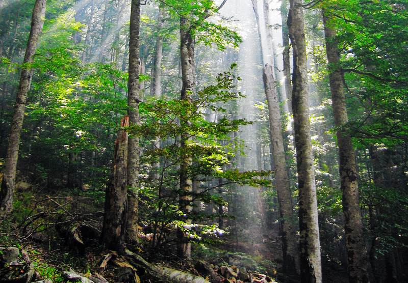
Forest image via Wikipedia.


