

The 2012 Arctic Report Card is an annual description of the state of the Arctic that is sponsored by NOAA. The first Arctic Report Card was published in in 2006. Nearly 150 scientists from 15 countries contributed to this year's report. A major finding of the Report Card 2012 is that numerous record-setting melting events occurred, even though, with the exception of a few limited episodes, Arctic-wide it was an unremarkable year, relative to the previous decade, for a primary driver of melting - surface air temperatures. From October 2011 through August 2012, positive (warm) temperature anomalies were relatively small over the central Arctic compared to conditions in recent years (2003-2010). Yet, in spite of these relatively moderate conditions, new records were set for sea ice extent, terrestrial snow extent, melting at the surface of the Greenland ice sheet, and permafrost temperature.
The 2012 Arctic Report Card is an annual description of the state of the Arctic that is sponsored by NOAA. The first Arctic Report Card was published in in 2006. Nearly 150 scientists from 15 countries contributed to this year's report. A major finding of the Report Card 2012 is that numerous record-setting melting events occurred, even though, with the exception of a few limited episodes, Arctic-wide it was an unremarkable year, relative to the previous decade, for a primary driver of melting - surface air temperatures. From October 2011 through August 2012, positive (warm) temperature anomalies were relatively small over the central Arctic compared to conditions in recent years (2003-2010). Yet, in spite of these relatively moderate conditions, new records were set for sea ice extent, terrestrial snow extent, melting at the surface of the Greenland ice sheet, and permafrost temperature.
!ADVERTISEMENT!
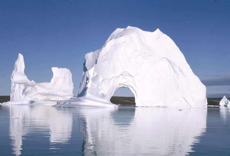
The Arctic is a polar region located at the northern-most part of the Earth. The Arctic consists of the Arctic Ocean and parts of Canada, Russia, Denmark (Greenland), Norway, the United States (Alaska), Sweden, Finland, and Iceland. The Arctic region consists of a vast, ice-covered ocean, surrounded by treeless permafrost. The area can be defined as being north of the Arctic Circle, the approximate limit of the midnight sun and the polar night.
Large changes are affecting Arctic climate and ecosystems, and, combined, these changes provide strong evidence of the overall momentum that has developed in the Arctic environmental system due to the impacts of a persistent warming trend that began over 30 years ago. A major source of this momentum is the fact that changes in the sea ice cover, snow cover, glaciers and Greenland ice sheet all conspire to reduce the overall surface reflectivity of the region in the summer, when the sun is ever-present. In other words, bright, white surfaces that reflect summer sunlight are being replaced by darker surfaces, e.g., ocean and land, which absorb sunlight.
These conditions increase the capacity to store heat within the Arctic system, which enables more melting - a positive feedback. Thus, we arrive at the conclusion that it is very likely that major changes will continue to occur in the Arctic in years to come, particularly in the face of projections that indicate continued global warming.
A second key point in Report Card 2012 is that changes in the Arctic marine environment are affecting the terrestrial and marine ecosystems.
During 2012, a number of record or near-record events occurred in relation to the Arctic terrestrial snow cover. Snow cover duration was the second shortest on record and new minimums were set for snow cover extent in May over Eurasia and in June (when snow still covers most of the Arctic region) over the Northern Hemisphere.
On land, new record high temperatures were measured at most permafrost observatories on the North Slope of Alaska and in the Brooks Range, Alaska, where measurements began in the late 1970s.
In Greenland, surface melting on the ice sheet set new records, with melting in some locations lasting up to ~2 months longer than the average (1979-2011) and melting being detected by satellite instruments over ~97 % of the surface in July.
Sea ice extent in September 2012 reached the lowest observed in the satellite record (1979-present), with a related continued decline in the extent of thick multi-year ice that forms in the central Arctic Basin. This record was set despite a relatively high maximum sea-ice extent in March 2012, which was due to extensive ice in the Bering Sea.
March to September 2012 showed the largest seasonal decline in sea ice between the maximum and minimum extents during the satellite record. August 2012 was a period of exceptionally rapid ice loss, with accelerated decline during an intense storm in early August in the East Siberian and Chukchi seas.
Observations of the Arctic marine ecosystem provide evidence of the impacts on the abundance and composition of phytoplankton communities. For instance, new satellite remote sensing observations show ice-edge blooms throughout the Arctic and the importance of seasonal sea ice variability in regulating primary production.
Changes in the terrestrial ecosystem are shown by vegetation and mammals. The tundra continues to become more green and in some locations above-ground plant biomass has increased by as much as 26% since 1982. The length of the growing season increased throughout much of the Arctic, e.g., by ~30 days in Eurasia, between 2000 and 2010.
In Europe, the Arctic fox population has declined to near extinction due to failure to recover from over-harvesting at the start of the 20th Century and the recent absence of lemming peaks populations. In contrast, the Arctic fox is abundant in North America. However, in both regions, the larger Red fox has been expanding northwards.
For further information see Report Card.
Arctic image via Wikipedia.


