Until now estimates of how much of ice-free rock is exposed in Antarctica were stated as ‘less than 1%’.
For the first time scientists from British Antarctic Survey (BAS) have been able to produce accurate quantification of how much of the continent isn’t buried under snow. At a mere 0.18% scientists can now say confidently how much of the frozen continent really is frozen. This improves the baseline that scientists use to monitor the effects of climate change in the region.
Publishing this month in the journal Cryosphere scientists describe how they used the latest NASA and USGS satellite data to produce an automated map of rock outcrop across the entire Antarctic continent.
As the accuracy and sensitivity of remote-sensing satellites improve, there is an increasing demand from the scientific community for more accurate and updated base datasets to improve geological surveying and monitoring. However, differentiating rock outcrop from snow and ice is a particular problem in Antarctica, where extensive cloud cover and widespread shaded regions lead to classification errors.
Continue reading at British Antarctic Survey
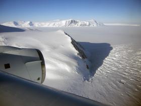
Image: Court Nunatak on the east side of the Antarctic Peninsula.
Image Credits: Michael Studinger/NASA


