To assess a community’s risk of extreme weather, policymakers rely first on global climate models that can be run decades, and even centuries, forward in time, but only at a coarse resolution.
To assess a community’s risk of extreme weather, policymakers rely first on global climate models that can be run decades, and even centuries, forward in time, but only at a coarse resolution. These models might be used to gauge, for instance, future climate conditions for the northeastern U.S., but not specifically for Boston.
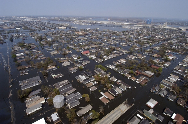
To estimate Boston’s future risk of extreme weather such as flooding, policymakers can combine a coarse model’s large-scale predictions with a finer-resolution model, tuned to estimate how often Boston is likely to experience damaging floods as the climate warms. But this risk analysis is only as accurate as the predictions from that first, coarser climate model.
“If you get those wrong for large-scale environments, then you miss everything in terms of what extreme events will look like at smaller scales, such as over individual cities,” says Themistoklis Sapsis, the William I. Koch Professor and director of the Center for Ocean Engineering in MIT’s Department of Mechanical Engineering.
Read more at: Massachusetts Institute of Technology
Photo Credit: 12019 via Pixabay


