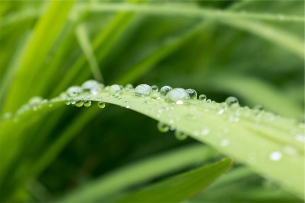
Arctic sea ice extent has likely reached its minimum extent for the year, at 4.64 million square kilometers (1.79 million square miles) on September 13, 2017, according to a team of international scientists. The 2017 minimum is the eighth lowest in the 38-year satellite record. The Arctic sea ice minimum marks the day – typically in mid-September – when sea ice reaches its smallest extent at the end of the summer melt season.

Read more ...

Since Captain James Cook’s discovery in the 1770s that water encompassed the Earth’s southern latitudes, oceanographers have been studying the Southern Ocean, its physics, and how it interacts with global water circulation and the climate.

Read more ...

NASA's Aqua satellite provided an infrared look at Hurricane Maria's cloud top temperatures and found the coldest cloud tops and strongest storms were facing east of the center and away from the U.S. However, Maria is a large hurricane. On Sept. 26, the National Hurricane Center reported that hurricane-force winds extend outward up to 105 miles (165 km) from the center and tropical-storm-force winds extend outward up to 240 miles (390 km).

Read more ...

Tropical Depression Pilar weakened to a remnant low pressure area as it continued to crawl north along the west coast of Mexico. Satellite data revealed no circulation center.

Read more ...

More Articles ...

Subcategories