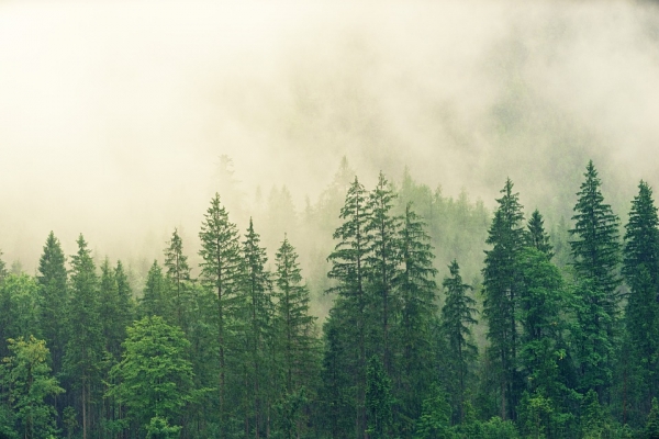
A study led by a North Carolina State University researcher found that under more severe climate warming scenarios, the inventory of trees used for timber in the continental United States could decline by as much as 23% by 2100.

A study led by a North Carolina State University researcher found that under more severe climate warming scenarios, the inventory of trees used for timber in the continental United States could decline by as much as 23% by 2100.

Take apart your laptop screen, and at its heart you’ll find a plate patterned with pixels of red, green, and blue LEDs, arranged end to end like a meticulous Lite Brite display.
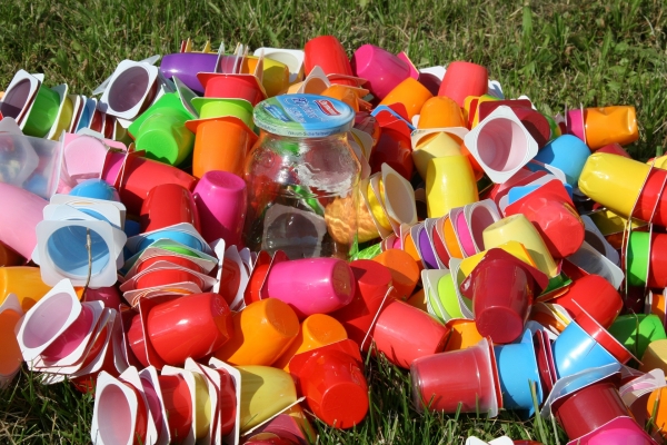
Fathers exposed to chemicals in plastics can affect the metabolic health of their offspring for two generations, a University of California, Riverside, mouse study reports.
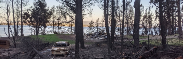
The early pandemic years overlapped with some of California’s worst wildfires on record, creating haunting, orange-tinted skies and wide swathes of burned landscape.
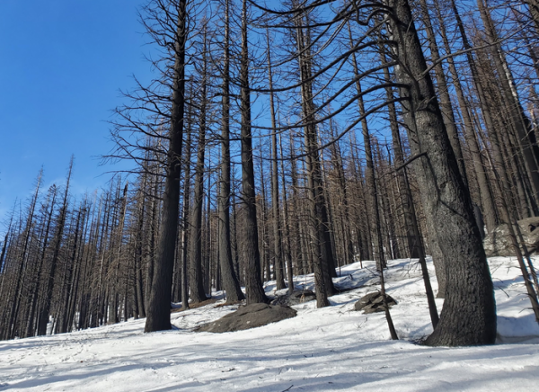
More than three times as many houses and other structures burned in Western wildfires in 2010-2020 than in the previous decade, and that wasn’t only because more acreage burned, a new analysis has found.
At a time when climate change is making many areas of the planet hotter and drier, it’s sobering to think that deserts are relatively new biomes that have grown considerably over the past 30 million years.


