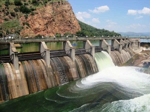
In 1969, the U.S. Army Corps of Engineers finished construction of the Red Rock Dam on the Des Moines River in Marion County, Iowa.

In 1969, the U.S. Army Corps of Engineers finished construction of the Red Rock Dam on the Des Moines River in Marion County, Iowa.
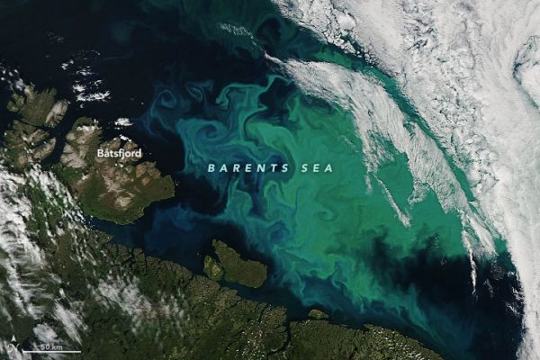
There are a few possible reasons why the phytoplankton-rich waters of this high-latitude sea appear both green and turquoise blue.

Infection with dengue virus makes mosquitoes more sensitive to warmer temperatures, according to new research led by Penn State researchers.
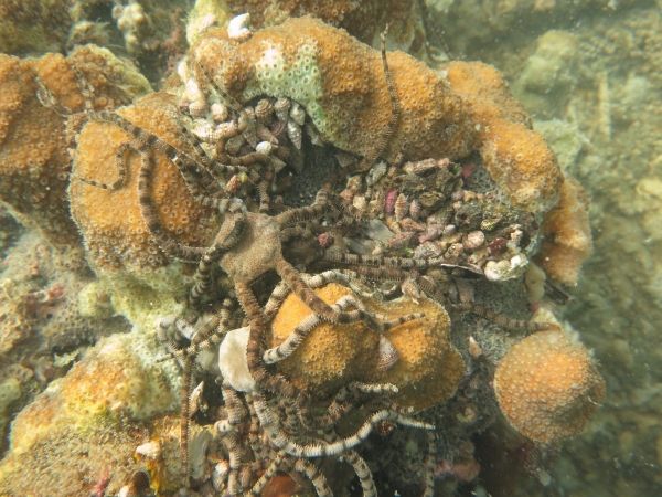
At a local scale, hypoxic events may pose a more severe threat to coral reefs than the warming events that cause mass bleaching.

Rainforests are a powerful, natural solution to combat climate change — providing water filtration, capturing carbon and regulating global temperatures.
Throughout history, people of different cultures and stages of evolution have found ways to adapt, with varying success, to the gradual warming of the environment they live in.


