Carbon dioxide measured by a NASA satellite pinpoints sources of the gas from human and volcanic activities, which may help monitor greenhouse gases responsible for climate change.
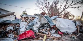
Late last month, a stratovolcano in Bali named Mount Agung began to smoke. Little earthquakes trembled beneath the mountain. Officials have since evacuated thousands of people to prevent what happened when Agung erupted in 1963, killing more than 1,000 people.