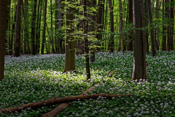
NASA’s Aqua satellite analyzed the cloud top temperatures and water vapor content in Hurricane Sally as it crawls toward landfall, and found the potential for large amounts of rainfall, which, coupled with slow movement, can lead to catastrophic flooding.
articles
Water Vapor Imagery Reveals Hurricane Paulette’s Strongest Side, Dry Air
NASA’s Aqua satellite analyzed Hurricane Paulette’s water vapor content as it continued to move away from Bermuda and found structural changes, the strongest side, and dry air moving in.
Researchers Develop Tool To Help Build Better Prosthetic Limbs
Prosthetic users have to look longer at the object they are interacting with than their able-bodied counterparts.
Satellite Images Display Changes in the Condition of European Forests
Newly created map indicates openings in the European forest canopy.
Researchers Use ‘Superdeep’ Diamonds To Shed Light On Earth’s Inner Workings
In a new study led by a University of Alberta PhD student, researchers used diamonds as breadcrumbs to provide insight into some of Earth’s deepest geologic mechanisms.
Software Helps Predict Floods And Freshwater Supplies
Predicting snowmelt in the mountain headwaters of the world’s major rivers is now vastly more accurate due to a new University of Saskatchewan (USask) computer simulation model.