
When humans have low iron levels, they tend to feel weak, fatigued and dizzy.

When humans have low iron levels, they tend to feel weak, fatigued and dizzy.

Under the current pandemic conditions, activities out in nature are a popular pastime.
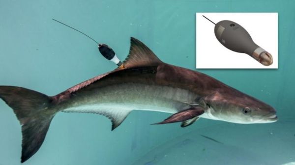
Scientists at the University of Miami (UM) Rosenstiel School of Marine and Atmospheric Science and Wildlife Computers, Inc. announced the release of a new activity data product application for marine animal tracking.
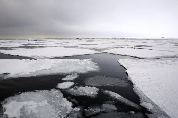
During the last glacial period, app. 10,000 – 110,000 years ago the northern hemisphere was covered in glacial ice and extensive sea ice, covering the Nordic seas.

In a paper published today in Science (and featured on the cover), an international team of researchers led by Princeton graduate student Ciro Cabal sheds light on the underground life of plants.
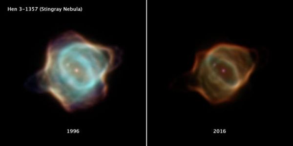
Astronomers have caught a rare look at a rapidly fading shroud of gas around an aging star. Archival data from NASA’s Hubble Space Telescope reveal that the nebula Hen 3-1357, nicknamed the Stingray nebula, has faded precipitously over just the past two decades.


