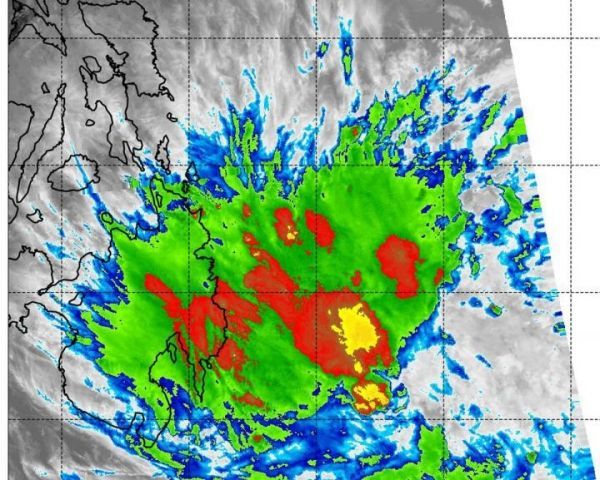
Tropical Depression 03W has dissipated in the Northwestern Pacific Ocean, but not without one last show of strength on infrared satellite imagery.

Tropical Depression 03W has dissipated in the Northwestern Pacific Ocean, but not without one last show of strength on infrared satellite imagery.

Researchers at the University of Warwick have been inspired by the unique movement of trembling aspen leaves, to devise an energy harvesting mechanism that could power weather sensors in hostile environments and could even be a back-up energy supply that could save and extend the life of future Mars rovers.

Should an abnormal heart rhythm detected by a smartwatch in otherwise healthy young adults be treated?
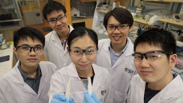
NUS scientists have taken inspiration from underwater invertebrates like jellyfish to create an electronic skin with similar functionality.

Latest research on hundreds of new green technology companies in the US shows the patenting activity of a startup climbs by over 73% on average every time they collaborate with a government agency on “cleantech” development – from next-generation solar cells to new energy storage materials.

After suffering a heart attack or unstable angina (chest pain caused by blocked arteries), patients who were systematically screened for depression and referred for treatment when appropriate did not show a significant improvement in quality of life compared with those who received no depression screening, according to research presented at the American College of Cardiology’s 68th Annual Scientific Session.


