
NASA-NOAA’s Suomi NPP satellite passed over the Southern Indian Ocean and captured a visible image of what appeared to be a more organized Tropical Cyclone Lorna.
NASA-NOAA’s Suomi NPP satellite passed over the Southern Indian Ocean and captured a visible image of what appeared to be a more organized Tropical Cyclone Lorna.
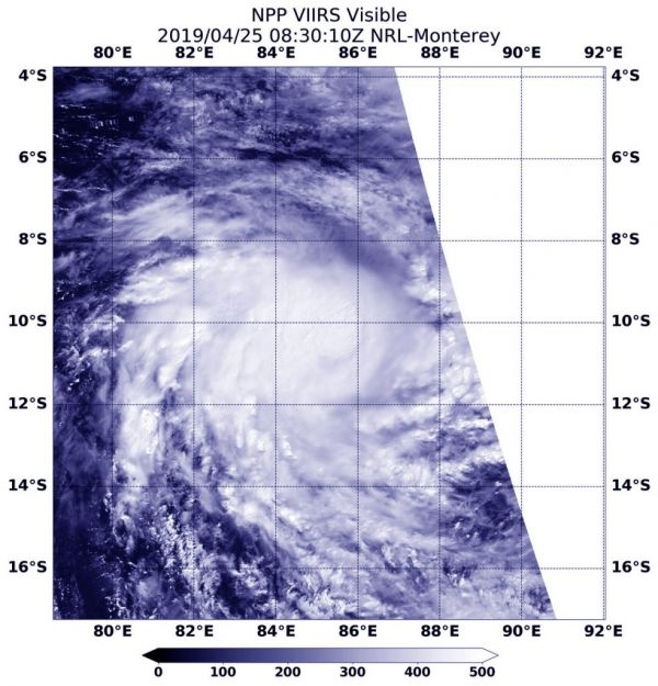
The Suomi NPP satellite flew over Lorna on April 25 at 4:30 a.m. EDT (0830 UTC) and the Visible Infrared Imaging Radiometer Suite (VIIRS) instrument provided a visible image of the storm. The VIIRS image showed a more circular storm, indicating that the storm was consolidating and strengthening. Microwave data revealed an eye feature.
Read more at NASA / Goddard Space Flight Center
Image: NASA-NOAA’s Suomi NPP satellite passed over the Southern Indian Ocean and captured a visible image of Tropical Cyclone Lorna, on April 25 at 4:30 a.m. EDT (0830 UTC). Credit: NASA/NOAA/NRL


