
With an ever-growing human population and its inherent demand for water, there is a critical need to monitor water resources. New technology could make it more feasible than ever to measure changes in the water flow of rivers.
Tyler King and Bethany Neilson, researchers at Utah State University, have developed a new method to estimate river discharge using aerial imagery gathered from helicopters and drones. Their new study, published Feb. 7 in Water Resources Research, found that aerial imaging can be just as accurate as older, more expensive field methods in some cases.
These alternative methods for monitoring water resources are necessary to continue meeting global water demands while simultaneously easing the impacts of floods and droughts.
“We are headed into uncharted territory as climate change alters water supply and population growth increases demand,” said Tyler King, a PhD candidate and co-author of the study. “In the face of these challenges, scientists, engineers and managers around the world are asked to perform the increasingly difficult task of managing water resources with less and less information.”
Read more at Utah State University
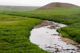
Image: Researchers at Utah State University have developed a new method to estimate river discharge using aerial imagery gathered from helicopters and drones. CREDIT: Utah State University


