
The first map of detailed information on worldwide land cover collected using uniform international standards, the Global Land Cover-SHARE database, was released in March by the UN Food and Agriculture Organization (FAO). Experts say it will help to improve research into natural resources and monitor global environmental changes.
The first map of detailed information on worldwide land cover collected using uniform international standards, the Global Land Cover-SHARE database, was released in March by the UN Food and Agriculture Organization (FAO). Experts say it will help to improve research into natural resources and monitor global environmental changes.
!ADVERTISEMENT!
"It is more precise and accurate than any other available product," John Latham, who directs the project at the FAO, tells SciDev.Net. It is the first land cover database compliant with ISO standards on definitions and procedures related to land cover classification.
The number of people around the world using land cover information is increasing at an unprecedented rate, he says.
But determining whether an area is covered by crops or trees, shrubs or bare soil, often involves interpreting satellite images and other data, Latham adds. And different organisations and countries process and record this information using different criteria, so it was previously difficult to compare information from the many available databases, he says.
"We took the best available national and international data sets, built with high-resolution images, and we fused them in a global database with a resolution of approximately one square kilometer," he says.
His team then classified land cover using 11 categories according to the Land Cover Classification System, an international set of standard definitions and procedures developed by the FAO and the UN Environment Programme.
The database divides the earth's surface into units of one square kilometre, which the researchers call 'points', and describes the percentage of these taken up by various types of covering, such as water, grassland or artificial surfaces.
The database was quality controlled by checking it with the actual land cover on the ground at 1,000 randomly chosen sites.
"The proportion of correctly classified points is 80 per cent, a big improvement over previous databases. It should improve with future updates, planned every two years, or more frequently for important areas in rapid change," Latham says.
The database can be used to assess natural resources, global water data, desertification, deforestation or food security studies, says Latham. For example, it has been incorporated into the FAO's Global Agro-Ecological Zones portal, a database of agricultural resources and crop yields and their projections under different climate scenarios.
Continue reading at ENN affiliate, SciDev.Net.
See the map at Global Land Cover Network.
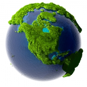
Earth image via Shutterstock.


