
The same satellites that identify severe weather can help save you from it.
The National Oceanic and Atmospheric Administration’s (NOAA’s) Geostationary Operational Environmental Satellite (GOES) constellation monitors Earth’s environment, helping meteorologists observe and predict the weather. GOES observations have tracked thunderstorms, tornadoes, hurricanes and flash floods. They’ve even proven useful in monitoring dust storms, forest fires and volcanic activity.
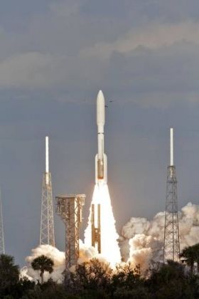
The recently launched GOES-S (planned to replace the current GOES-West later this year) and other GOES series satellites carry a payload supported by NASA’s Search and Rescue (SAR) office, which researches and develops technologies to help first responders locate people in distress worldwide, whether from a plane crash, a boating accident or other emergencies.
Over its history, the SAR office at NASA’s Goddard Space Flight Center in Greenbelt, Maryland, has developed emergency beacons for personal, nautical and aeronautical use, along with ground station receivers that detect beacon activation. Space segment SAR instruments fly on many spacecraft in various orbits around the Earth. The GOES SAR transponders are geostationary, meaning that they appear “fixed” relative to a user on the surface due to their location over the equator and orbital period of 24 hours.
Continue reading at NASA
Image via Bill White, NASA


