
More accurate maps of bed topography reveal physical processes controlling retreat.
Using data from NASA missions observing Earth, researchers at the University of California, Irvine have created new maps of the bed topography beneath a score of glaciers in southeast Greenland, thereby gaining a much better understanding of why some are undergoing rapid retreat and others are relatively stable.
“The undersides of glaciers in deeper valleys are exposed to warm, salty Atlantic water, while the others are perched on sills, protected from direct exposure to warmer ocean water,” said Romain Millan, lead author of the study, available online in the American Geophysical Union journal Geophysical Research Letters. “We have been able to demonstrate unequivocally that glacier retreat in southeast Greenland is controlled by the topography of the bedrock under the ice and by ocean temperature.”
Millan, a UCI graduate student researcher in Earth system science, and his colleagues analyzed 20 major outlet glaciers in southeast Greenland using high-resolution airborne gravity measurements and ice thickness data from NASA’s Operation IceBridge mission; bathymetry information from NASA’s Oceans Melting Greenland project; and results from the BedMachine version 3 computer model, developed at UCI.
Continue reading at University of California Irvine
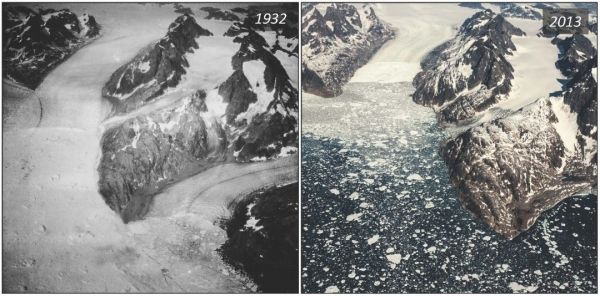
Image via University of California Irvine


