
Hunting for buried shipwrecks and close calls with coyotes may not be the first thoughts that spring to mind at the mention of Thorold — or of digital mapping software. But they were among the adventures had by Colleen Beard during her research into the historic Welland canals.
Hunting for buried shipwrecks and close calls with coyotes may not be the first thoughts that spring to mind at the mention of Thorold — or of digital mapping software. But they were among the adventures had by Colleen Beard during her research into the historic Welland canals.
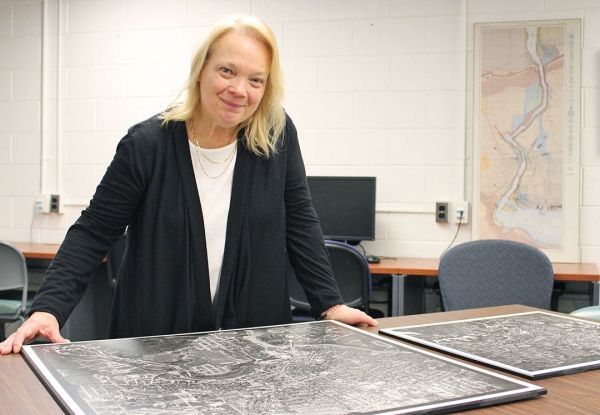
Beard, Head of the Map, Data & GIS Library at Brock University, has spent the past eight years working both on the ground and buried in stacks of maps to create an open-source digital resource showing the routes of 19th century Welland canals as they would appear on today’s landscape.
On Tuesday, April 3, she will share her research in a public talk, “Mapping the Historic Welland Canals One Lock at a Time — My Story.” The presentation is the last in this year’s MA in Geography Speaker Series.
The research process, called Historical Geographic Information Systems, is characterized by the use of current mapping technologies applied to a historical subject.
Continue reading at Brock University.
Image via Brock University.


