
Map apps may have changed our world, but they still haven’t mapped all of it yet. Specifically, mapping roads can be difficult and tedious: Even after taking aerial images, companies still have to spend many hours manually tracing out roads. As a result, even companies like Google haven’t yet gotten around to mapping the vast majority of the more than 20 million miles of roads across the globe.
Gaps in maps are a problem, particularly for systems being developed for self-driving cars. To address the issue, researchers from MIT’s Computer Science and Artificial Intelligence Laboratory (CSAIL) have created RoadTracer, an automated method to build road maps that’s 45 percent more accurate than existing approaches.
Using data from aerial images, the team says that RoadTracer is not just more accurate, but more cost-effective than current approaches. MIT professor Mohammad Alizadeh says this work will be useful both for tech giants like Google and for smaller organizations without the resources to curate and correct large amounts of errors in maps.
“RoadTracer is well-suited to map areas of the world where maps are frequently out of date, which includes both places with lower population and areas where there’s frequent construction,” says Alizadeh, one of the co-authors of a new paper about the system. “For example, existing maps for remote areas like rural Thailand are missing many roads. RoadTracer could help make them more accurate.”
Read more at Massachusetts Institute of Technology
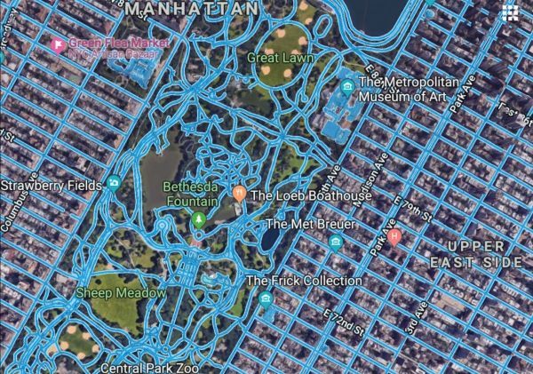
Image: To create complete road maps companies like Google often have to have employees take existing aerial images with incomplete information and manually fill in the gaps. CREDITS: Images courtesy of the researchers.


