
Today, the U.S. Geological Survey (USGS) and the U.S. Department of Energy (DOE), in partnership with DOE’s Lawrence Berkeley National Laboratory and the American Wind Energy Association, released the United States Wind Turbine Database (USWTDB) and the USWTDB Viewer to access this new public dataset.
Today, the U.S. Geological Survey (USGS) and the U.S. Department of Energy (DOE), in partnership with DOE’s Lawrence Berkeley National Laboratory and the American Wind Energy Association, released the United States Wind Turbine Database (USWTDB) and the USWTDB Viewer to access this new public dataset.
This new Wind Turbine Database is a comprehensive dataset of U.S. wind turbine locations and characteristics that is easily accessible, more accurate, and updated more often than existing wind turbine datasets. This dataset and its associated viewer allow federal agencies to share data to properly develop and plan around wind projects. The availability of these data are crucial to planning for government agencies, as well as researchers.
“This database and map are not only a fantastic and much-needed tool that will see much use, but also proof of the power of bringing together the expertise in both government and industry,” said Tim Petty, Assistant Secretary for Water and Science at the Department of the Interior. “The data will help improve the siting of future wind energy projects as well as aid land managers in devising more up-to-date land-use and multiple-use plans.”
For example, the U.S. Departments of Defense and Homeland Security and the National Oceanic and Atmospheric Administration have been using the database already to perform crucial operational impact assessments of wind turbines on radar. This effort dovetails with DOE’s interagency work to address the potential impacts of operating wind turbines on defense and civilian radar systems through the Wind Turbine Radar Interference Mitigation Working Group.
Continue reading at USGS.
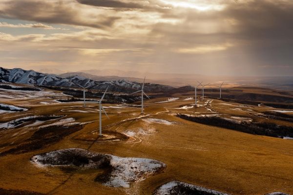
Image via USGS.


