
Looking at Earth from the International Space Station, astronauts see big, white clouds spreading across the planet. They cannot distinguish a gray rain cloud from a puffy white cloud. While satellites can see through many clouds and estimate the liquid precipitation they hold, they can’t see the smaller ice particles that create enormous rain clouds.
Looking at Earth from the International Space Station, astronauts see big, white clouds spreading across the planet. They cannot distinguish a gray rain cloud from a puffy white cloud. While satellites can see through many clouds and estimate the liquid precipitation they hold, they can’t see the smaller ice particles that create enormous rain clouds.
An experimental small satellite has filled this void and captured the first global picture of the small frozen particles inside clouds, normally called ice clouds.
Deployed from the space station in May 2017, IceCube is testing instruments for their ability to make space-based measurements of the small, frozen crystals that make up ice clouds. “Heavy downpours originate from ice clouds,” said Dong Wu, IceCube principal investigator at NASA’s Goddard Space Flight Center in Greenbelt, Maryland.
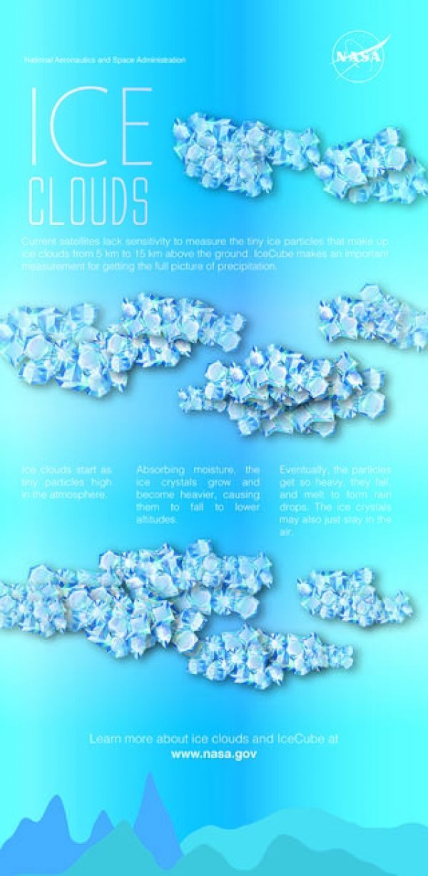
Ice clouds start as tiny particles high in the atmosphere. Absorbing moisture, the ice crystals grow and become heavier, causing them to fall to lower altitudes. Eventually, the particles get so heavy, they fall and melt to form rain drops. The ice crystals may also just stay in the air.
Like other clouds, ice clouds affect Earth’s energy budget by either reflecting or absorbing the Sun’s energy and by affecting the emission of heat from Earth into space. Thus, ice clouds are key variables in weather and climate models.
Read more at NASA/Goddard Space Flight Center
Image: IceCube has created a global map of these ice clouds around the planet, which could someday help improve models and forecasts. (Credit: NASA Goddard/ Jennifer Brill)


