
Three-dimensional measurements of the central Brazilian Amazon rainforest have given NASA researchers a detailed window into the high number of branch falls and tree mortality that occur in response to drought conditions. They found that 65 percent more trees and large branches died due to an El Niño-driven drought in 2015-2016 than compared to an average year. Understanding the effects of prolonged drought gives scientists a better sense of what may happen to carbon stored in tropical forests if these events become more common in the future.
Three-dimensional measurements of the central Brazilian Amazon rainforest have given NASA researchers a detailed window into the high number of branch falls and tree mortality that occur in response to drought conditions. They found that 65 percent more trees and large branches died due to an El Niño-driven drought in 2015-2016 than compared to an average year. Understanding the effects of prolonged drought gives scientists a better sense of what may happen to carbon stored in tropical forests if these events become more common in the future.
"Climate projections for the Amazon basin suggest warmer and drier conditions in coming decades," said Earth system scientist Doug Morton at NASA’s Goddard Space Flight Center in Greenbelt, Maryland, and a co-author on the research recently published in New Phytologist. "Drought events give us a preview of how tropical forests may react to a warmer world.”
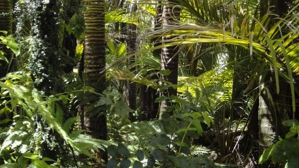
When it doesn’t rain in the rainforest, trees are more at risk of dying because they can't get enough water from the soil to their canopies, which can reach 15 to 20 stories high. In a rainforest as vast as the Amazon, estimating the number of dying or damaged trees, where only branches may fall, is extremely difficult and has been a long-standing challenge.
Traditionally, researchers hike in and survey a few acres of trees to measure living trees and dead debris on the ground. Morton and his colleagues took the bird’s eye perspective using light detection and ranging (LiDAR) technology mounted onto an airplane to create a 3D reconstruction of the same forest canopy over three separate flights in 2013, 2014 and 2016. With 300,000 laser pulses a second, the LiDAR data provides an incredibly detailed depiction of the forest over a much greater area than they could cover on foot.
Read more at NASA/Goddard Space Flight Center
Photo Credit: rosinakaiser via Pixabay


