
Hurricane Harvey dumped more than 5 feet of water on southeast Texas in late August 2017, making it the wettest recorded hurricane in U.S. history. But after the storm passed, where did all that water go?
In a new, NASA-led study, scientists used Global Positioning System (GPS) data to answer that question and to track not just where Harvey's stormwater ended up on land, but also how long it took to dissipate.
"We determined that in the first eight days post-landfall, 30 percent of Harvey's stormwater was captured or stored on land -- most as standing water that sits on the surface. Around 60 percent was lost or drained into the ocean and Galveston Bay over the first few days after the storm, and the remaining 10 percent was lost via evapotranspiration, or a combination of evaporation and plant transpiration," said first author Chris Milliner of NASA's Jet Propulsion Laboratory in Pasadena, California.
The 30 percent of water that was stored on land then gradually dissipated over a period of about five weeks, likely through evapotranspiration, groundwater runoff into nearby rivers and the replenishment of aquifers.
Continue reading at NASA Jet Propulsion Laboratory
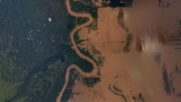
Image via NOAA


