
In late August citizen scientists took to the streets to collect real-time data about the hottest places in Baltimore and Washington, D.C.
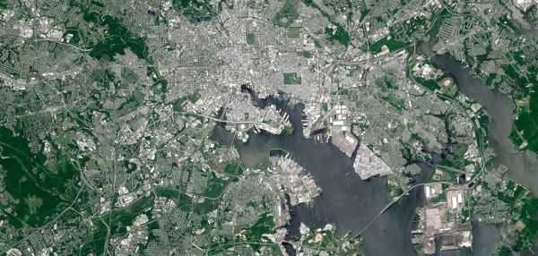
In late August citizen scientists took to the streets to collect real-time data about the hottest places in Baltimore and Washington, D.C. Their efforts paid off and new maps were released today showing that, on one of the hottest days of summer, people in some Baltimore neighborhoods sweltered in temperatures of 103 degrees F, some 16 degrees higher than the coolest parts of the city at the same time in the afternoon.
A similar pattern took place in D.C. a day earlier when temperatures soared to 102 degrees F in several neighborhoods, while other parts of the city were 17 degrees cooler.
The detailed maps are the result of a NOAA-funded project to map urban heat – the places where people are most at risk during extreme heat. A corps of 25 volunteers drove along designated routes through each city on two consecutive days to collect temperature data using specially designed thermal sensors mounted on their own cars.
Vivek Shandas of Portland State University and Jeremy Hoffman of the Science Museum of Virginia then used these data to create detailed maps of the hottest and coolest places in both cities.
Continue reading at NOAA.
Image via NOAA.


