
If you have a smartphone, you’ve likely received a severe weather alert warning of an impending flash flooding event, a tornado or a dangerous thunderstorm, and that’s in part thanks to information provided by the National Weather Service (NWS).
If you have a smartphone, you’ve likely received a severe weather alert warning of an impending flash flooding event, a tornado or a dangerous thunderstorm, and that’s in part thanks to information provided by the National Weather Service (NWS). Up until this year, however, the NWS didn’t have an alert system in place for a form of severe winter weather that is known to cause multi-car pile ups: snow squalls.
On Nov. 1, 2018, the NWS expanded its winter weather warning program to include snow squalls. Snow squall alerts were primarily tested in the Northeast last year, but now any NWS office can issue alerts when conditions warrant.
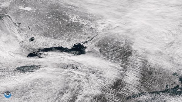
Snow squalls are short-lived bursts of heavy snowfall that result in the rapid onset of near-zero visibilities and are often accompanied by gusty winds, according to the NWS.
Randy Graham, the regional science officer at the NWS’s Central Region Headquarters, explained that snow squalls are different from a typical winter storm.
Continue reading at NOAA.
Image via NOAA.


