
Since 1982, some parts of the West have had a 41 percent reduction in the yearly maximum mass of snow.
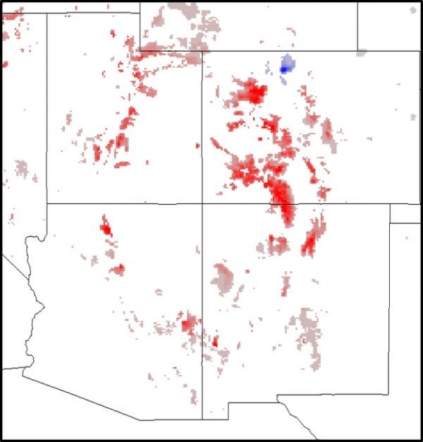
Researchers have now mapped exactly where in the Western U.S. snow mass has declined since 1982. A University of Arizona-led research team mapped the changes in snow mass from 1982 to 2016 onto a grid of squares 2.5-miles on a side over the entire contiguous U.S.
A person could practically find the trend for their neighborhood, said first author Xubin Zeng, a UA professor of hydrology and atmospheric sciences. Grid size for previous studies was about 40 miles on a side, he said.
"This is the first time anyone has assessed the trend over the U.S. at the 2.5-mile by 2.5-mile pixel level over the 35-year period from 1982 to 2016," Zeng said. "The annual maximum snow mass over the Western U.S. is decreasing."
In the Eastern U.S., the researchers found very little decrease in snow mass. Even in snowy regions of the West, most of the squares did not have a significant decrease in snow. However, some parts of the Western U.S. have had a 41 percent reduction in the yearly maximum mass of snow since 1982. UA co-author Patrick Broxton said, "The big decreases are more often in the mountainous areas that are important for water supplies in the West."
Continue reading at University of Arizona
Image via Patrick Broxton, University of Arizona


