
In order to analyse climate change or provide information on natural hazards, for example, it is important for researchers to gather knowledge about rain.
In order to analyse climate change or provide information on natural hazards, for example, it is important for researchers to gather knowledge about rain. Better knowledge of precipitation and its distribution could, for example, help protect against river flooding. On land, monitoring stations can provide data by collecting precipitation. At sea, it’s not so easy.
A new approach by a team around Milad Asgarimehr, who works in the GFZ section for Space Geodetic Techniques and at the Technical University of Ber-lin, together with researchers from the Earth System Research Laboratory of the National Oceanic and Atmospheric Administration of the USA (NOAA) and the University of Potsdam, uses information contained in radar signals from GNSS satellites (Global Navigation Satellite System) to detect rain over the sea. The technology is called GNSS Reflectometry. It is an innovative satellite re-mote sensing method with a broad spectrum of geophysical applications. As-garimehr and his colleagues have now published their results in the journal Geophysical Research Letters.
According to the researchers, the new approach could help to monitor atmos-pheric precipitation better than before. Asgarimehr: "Our research can serve as a starting point for the development of an additional rain indicator. We can pro-vide precipitation information using GNSS Reflectometry with unprecedented temporal resolution and spatial coverage".
Read more at GFZ Geoforschungzentrum Potsdam, Helmholtz Centre
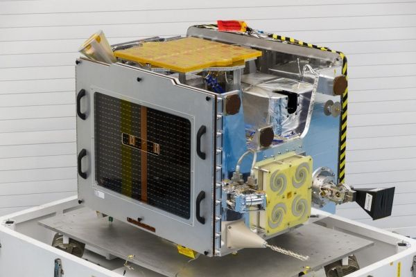
Image: This is a photo of TechDemoSat-1 flight ready in a cleanroom in March 2013. (Credit: SSTL)


