
How is climate change affecting the soils of the Arctic? This question has preoccupied climate researchers for the past several years.
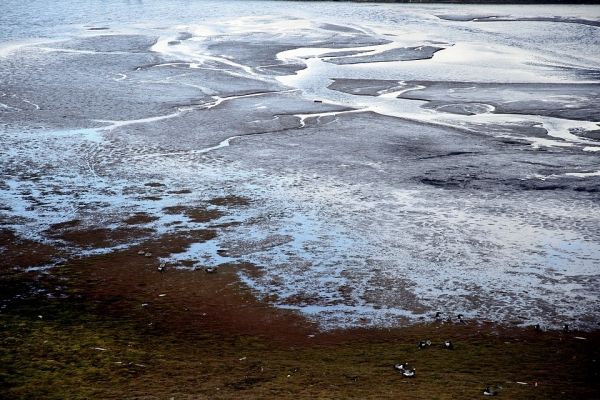
How is climate change affecting the soils of the Arctic? This question has preoccupied climate researchers for the past several years. There are huge expanses of the High North where only the uppermost few centimetres of soil thaw in the summer; the rest of the soil, down to a depth of several hundred metres, remains frozen the whole year round. In the Northern Hemisphere, these permafrost regions can be found below nearly a quarter of the total surface area.
But it’s not likely to stay that way. According to climate models, rising temperatures could thaw between 50 and 90 percent of upper permafrost layers by the year 2100. Experts fear that, if this happens, not only will the faces of entire landscapes be changed; in a warmer climate, microorganisms could also release large quantities of the greenhouse gases carbon dioxide and methane from the soil, which would in turn accelerate climate change.
In fact, there are already signs that the permafrost has begun degenerating – for example, when we see hills starting to slump, or lakes whose size changes substantially. “With regard to several well-researched regions like the Lena Delta or northern Alaska, we already know there are such effects,” says Ingmar Nitze. What was missing until now was a large-scale overview of where these processes are underway.
Nitze and colleagues from Potsdam and Alaska have now provided exactly that, using the US Landsat satellites to do so. In four selected bands covering a total area of 2.3 million square kilometres in Alaska, Canada and Siberia, they have mapped where signs of degeneration manifested between 1999 and 2015, down to a scale of 30 metres.
Read more at Alfred Wegener Institute, Helmholtz Centre for Polar and Marine Research
Photo Credit: flodambricourt via Pixabay


