
A recently-launched satellite mission has captured precision data on the elevation of the Antarctic ice sheet proving a valuable addition to monitoring efforts in the region, according to work published this week in The Cryosphere.
A recently-launched satellite mission has captured precision data on the elevation of the Antarctic ice sheet proving a valuable addition to monitoring efforts in the region, according to work published this week in The Cryosphere.
From its orbit 815 km above the Earth, the Sentinel-3 satellite was able to detect the height of the ice surface to within tens of centimetres , tests carried out at the remote Lake Vostok validation site in East Antarctica showed.
The study, led by researchers from the new joint Lancaster University-CEH Centre of Excellence in Environmental Data Science (CEEDS), alongside European Space Agency (ESA) and industry partners, shows the potential of Sentinel-3 – one of the EU Copernicus satellite missions – to contribute towards long-term ice sheet monitoring programmes.
The scientists also found that Sentinel-3 could detect areas where the ice surface was rapidly lowering, thereby establishing the satellite’s credentials as a new platform which can help to monitor Antarctica’s contribution to sea level rise.
Read more at Lancaster University
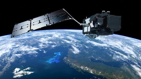
Image: An illustration of Sentinel-3 (Credit: European Space Agency)


