
A new tool for understanding kelp decline and its impact on BC coastal habitats drew upon historical sketches from the last century to paint a stark picture about the future of our oceans.
A new tool for understanding kelp decline and its impact on BC coastal habitats drew upon historical sketches from the last century to paint a stark picture about the future of our oceans. Kelp forests are a rich ecosystem critical to many species such as herring and salmon, but researchers know that kelp is decreasing in some areas of the Pacific Northwest.
Now, using an innovative method involving British admiralty charts from 1858 to 1956, UVic geographer Maycira Costa and her research team in partnership with Fisheries and Oceans Canada (DFO) (Science and Coastal Environmental Baseline Program) and the Canadian Hydrographic Service (CHS) have created the first historical digital map of BC’s coastal kelp forests to further investigate the loss of kelp.
The new reference map will help address questions related to the habitats of salmon, herring and many other species that rely on kelp for protection and food. Costa, with support from the Pacific Salmon Foundation, is comparing the historical maps to satellite images of coastal areas to understand how these habitats have changed and why.
Continue reading at University of Victoria.
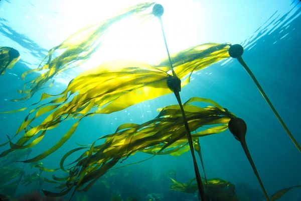
Image via University of Victoria.


