
As the Yalobusha River rose around Greenwood, Mississippi, during a major rainstorm in late February, scientists from the Northern Gulf Institute at Mississippi State University deployed a small unmanned plane that took high-resolution images of rising waters and beamed them back in real time to NOAA weather forecasters.
As the Yalobusha River rose around Greenwood, Mississippi, during a major rainstorm in late February, scientists from the Northern Gulf Institute at Mississippi State University deployed a small unmanned plane that took high-resolution images of rising waters and beamed them back in real time to NOAA weather forecasters.
“We were able to see the water as it rose over the course of two days, which helped our office confirm when the crest had been reached,” said Dr. Suzanne Van Cooten, hydrologist-in-charge at the NOAA National Weather Service Lower Mississippi River Forecast Center in Slidell, Louisiana. “This visual information really helps us improve our forecasts so we can provide critical information to those in an affected area.”
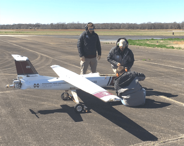
Scientists piloted the 8.5-foot long by 14-foot wide Griffon Outlaw G2E unmanned plane from MSU’s Raspet Flight Research Center in Starkville, Mississippi, equipped with the Overwatch Imaging TK-5 payload -- a system able to take, process and transmit images with 6-inch resolution when flying 4,500 feet above the ground.
The images were transmitted to the High Performance Computing Collaboratory at MSU, and could be immediately downloaded by NOAA’s NWS Lower Mississippi River Forecast Center. NOAA forecasters used the information to refine forecasts that are vital to local emergency managers, the public and the area’s farmers.
Continue reading at NOAA.
Image via NOAA.


