
A University of Oklahoma-led project is showing how citizen science programs provide valuable data on rivers in southwestern United States.
A University of Oklahoma-led project is showing how citizen science programs provide valuable data on rivers in southwestern United States. The datasets of ecological and hydrological data obtained from intermittent rivers (rivers that dry at some point in space or time) in Arizona are input into a nationwide network. Trained citizen scientists are mapping three rivers in Arizona: the San Pedro River, Cienega Creek and Agua Fria River. The wet and dry data collected yearly from these programs map information on how to best manage water resources under a changing climate.
“It is difficult to get good quality data about how much water is in intermittent rivers. Most of our existing infrastructure for measuring river flows in the United States is geared towards monitoring water levels of perennial rivers, which are those that always flow. Citizen science groups provide valuable contributions to the field of river science, as the data they produce would not be available otherwise. Without that data we wouldn’t be able to answer basic research questions like how the length of wet river reaches in these rivers has changed over time, and what these changes might mean for fish that live in these rivers,” said Daniel Allen, assistant professor in the Department of Biology, OU College of Arts and Sciences.
In this study, these three groups of citizen scientists divide up and measure the river using a simple method that includes measuring the river from where it begins to where it ends in places where there is at least 30 feet of water. The three long-term wet and dry datasets produced by citizen science river monitoring programs describe landscape drying patterns, examine how they vary over time and use models to quantify landscape drying patterns and temperature, precipitation, stream flow and drought metrics.
Read more at University of Oklahoma
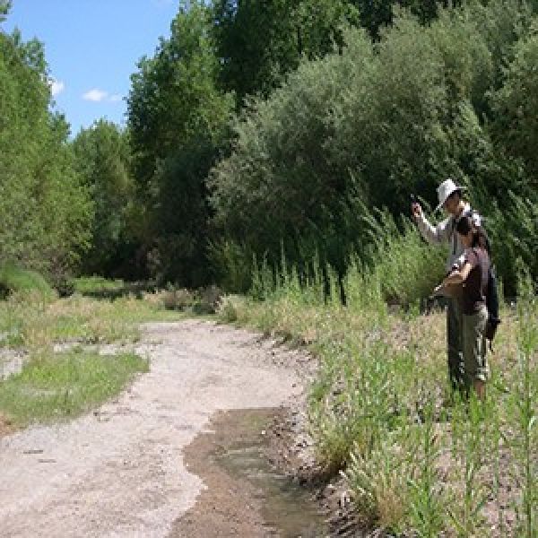
Image via University of Oklahoma


