
U.S. Geological Survey field crews are measuring record flooding in parts of southeastern South Dakota following rainfall and warmer temperatures.
U.S. Geological Survey field crews are measuring record flooding in parts of southeastern South Dakota following rainfall and warmer temperatures.
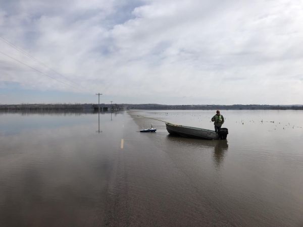
Rain that fell on snow from March 14-15 led to record flooding in the James, Vermillion and Big Sioux River basins. The following warmer weather and resultant melting snow upstream of the rainfall areas have resulted in ongoing high flows in much of the state.
USGS crews are measuring high flood flows and verifying streamgage operations on the James and Big Sioux Rivers in eastern South Dakota and the White and Cheyenne Rivers in central and western South Dakota. Records indicate that peak flows measured since March 13 and many of the forecast peaks will be in the top five flows measured for many sites. Within the next week, very high flows are expected in the Sioux Falls area in the Big Sioux basin, potentially reaching the second highest river stage at the Dell Rapid gage and the North Cliff Avenue gage.
USGS crews will keep tracking the floodwaters as flooding continues with heavy snowpack and ice breakup across both North and South Dakota. This information is critical for resource managers and emergency responders to help protect life and property. The USGS coordinates efforts with the National Weather Service, US Army Corps of Engineers, Bureau of Reclamation and many local and state partners.
Continue reading at USGS.
Image via USGS.


