
Borrowing one of meteorology’s great euphemisms, this spring has been “an active one” in much of the country.
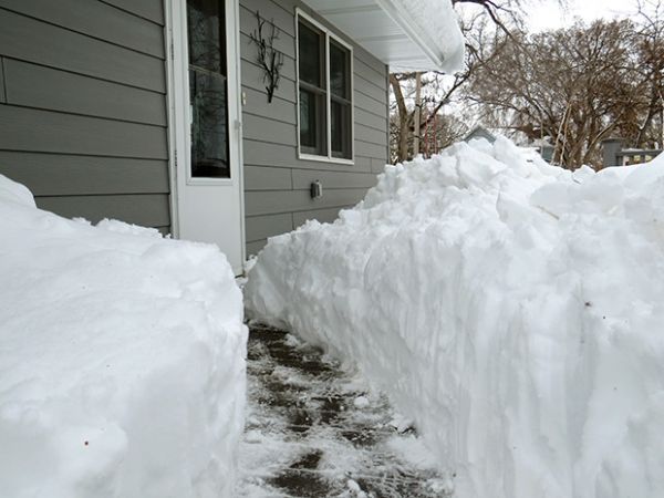
Borrowing one of meteorology’s great euphemisms, this spring has been “an active one” in much of the country. The Plains and Upper Midwest experienced huge events in back-to-back months. March brought an explosive winter storm to much of the region, and a cascade of events that led to historic flooding from Nebraska to Wisconsin. April gave us a more canonical blizzard, a winter storm with snowfall measured in feet.
So what happened? How does this fit into history? How does April bring the huge storms? Some answers follow. Let’s go Beyond the Data.
Understanding what happened in March requires going back several weeks in time to examine the conditions that contributed to the flooding. It’s important to note that late winter was very snowy and cold across the region. How snowy? February snow cover across the contiguous U.S. was larger than the average footprint by more than a third of average. To quote NCEI’s National Snow & Ice report: According to NOAA data analyzed by the Rutgers Global Snow Lab, the monthly snow cover across the contiguous U.S. was 1.63 million square miles, which is 432,800 square miles above the 1981-2010 average. This was the 4th-largest February snow cover extent in the 53-year satellite record and the largest since 2010.
Continue reading at NOAA.
Image via NOAA.


