
NOAA scientists are forecasting this summer’s Gulf of Mexico hypoxic zone or ‘dead zone’.
NOAA scientists are forecasting this summer’s Gulf of Mexico hypoxic zone or ‘dead zone’ – an area of low to no oxygen that can kill fish and other marine life – to be approximately 7,829 square miles, or roughly the size of Massachusetts. The annual prediction is based on U.S. Geological Survey river flow and nutrient data.
The 2019 forecast is close to the record size of 8,776 square miles set in 2017 and larger than the 5-year average measured size of 5,770 square miles.
The annually recurring Gulf of Mexico hypoxic zone is primarily caused by excess nutrient pollution from human activities, such as urbanization and agriculture, occurring throughout the Mississippi River watershed. Once the excess nutrients reach the Gulf they stimulate an overgrowth of algae, which eventually die, then sink and decompose in the water. The resulting low oxygen levels near the bottom are insufficient to support most marine life and have long-term impacts to living marine resources that are unable to leave the area. Considered one of the world’s largest, the Gulf of Mexico dead zone occurs every summer.
A major factor contributing to the large dead zone this year is the abnormally high amount of spring rainfall in many parts of the Mississippi River watershed, which led to record high river flows and much larger nutrient loading to the Gulf of Mexico. This past May, discharge in the Mississippi and Atchafalaya rivers was about 67% above the long-term average between 1980 and 2018. USGS estimates that this larger-than average river discharge carried 156,000 metric tons of nitrate and 25,300 metric tons of phosphorus into the Gulf of Mexico in May alone. These nitrate loads were about 18% above the long-term average, and phosphorus loads were about 49% above the long-term average.
Continue reading at USGS.
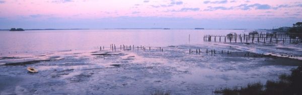
Image via USGS.


