
A new map of Greenland and the European Arctic highlights the importance of monitoring environmental change in this fast-changing region.
A new map of Greenland and the European Arctic highlights the importance of monitoring environmental change in this fast-changing region. Cartographers at British Antarctic Survey (BAS) have produced the most detailed and up-to-date printed map of Greenland. This map is the first of its kind to cover the entire region on one sheet.
The map stretches from the Canadian Arctic in the west, to the Russian Arctic in the east. Mapping this region is extremely challenging. Maintaining accurate map records allows researchers to track and investigate the fast-changing Arctic environment.
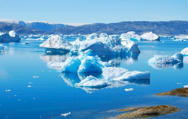
Glacier and ice-sheet retreat is causing coastlines in the region to evolve, creating new bays and fjords which feature. One of the most significant areas of improvement is over Greenland.
Historically, due to its remote location and low population density, data collection and the creation of maps in Greenland has been more difficult than in other areas. To overcome this, BAS cartographers extracted the coastline from an existing dataset and updated it using over forty satellite images at 30-m resolution. The updated coastline and interior includes new features such as islands in the Qimusseriarsuaq (Melville Bay) region, revealed by the retreat of the Greenland ice sheet. It also exposes the extension of the Ilulissat Icefjord at the front of Jakobshavn Isbræ, a glacier well-known for its dramatic recent retreat.
Read more at British Antarctic Survey
Photo Credit: JADEO via Pixabay


