
Measuring the height of Brazil’s towering rainforests can be a tall order.
Measuring the height of Brazil’s towering rainforests can be a tall order. But an international team of researchers say they are working together to turn unmanned aerial vehicles (UAVs), or drones, into efficient, low-cost data collectors that can monitor the progress of forest restoration.
The team developed a drone equipped with three-dimensional laser scanning and hyperspectral imaging systems capable of producing high-resolution maps and collecting hundreds of images at different wavelengths for a given area.
They used the GatorEye system to assess the results of a mixed-species forest restoration experiment in the Atlantic Forest of south-eastern Brazil, concluding in their findings that the technology showed “enormous potential”.
Read more at SciDev.Net
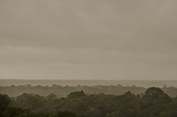
Photo credit: pioordozgoith via Pixabay


