
Citizen scientists will take to the streets during the hottest days this summer to map hot spots in ten different U.S. cities.
Citizen scientists will take to the streets during the hottest days this summer to map hot spots in ten different U.S. cities. The campaign is part of a NOAA-funded project to map places where buildings, asphalt, and other parts of urban environments can amplify high temperatures, putting people at heightened risk of heat illness during extreme heat events.
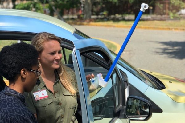
With specially designed sensors mounted on their own cars, volunteers in each city will drive pre-planned routes three times on the appointed day — morning, afternoon, and evening — recording temperature, humidity, and their precise location every second. Overall, the drivers will collect more than 80,000 measurements across each city, enabling scientists to generate detailed heat maps that highlight the cities’ hot spots.
The 2019 effort will kick off with volunteer surveys in Boston, Cambridge, Brookline, and Worcester, Massachusetts. Later efforts will target Yonkers, New York; West Palm Beach, Fort Lauderdale, and Miami, Florida; Seattle and King County, Washington; and Honolulu, Hawaii. This follows heat-mapping campaigns in Richmond, Virginia, in 2017 and in Baltimore and Washington, D.C., in 2018.
Continue reading at (NOAA) Climate.gov.
Image via Boston Science Museum.


