
U.S. Geological Survey scientists are quickly installing at least 150 storm-tide sensors [video] and at least 22 other instruments that will track the hurricane’s effects along the North and South Carolina coasts.
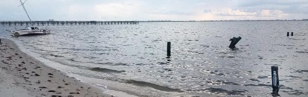
As forecasts show that Hurricane Dorian has the potential to cause extensive flooding and erosion along the famous Low Country coasts of the Carolinas and Georgia, U.S. Geological Survey scientists are quickly installing at least 150 storm-tide sensors [video] and at least 22 other instruments that will track the hurricane’s effects along the North and South Carolina coasts. The USGS has already installed 55 storm-tide sensors in Georgia and 158 in Florida, as well as other specialized devices to track the effects of hurricane-borne waves on those coasts.
On Monday and Tuesday, Sept. 2 and 3, field crews from the USGS’ South Atlantic Water Science Center plan to install 70 storm-tide sensors in South Carolina and 90 in North Carolina. A total of 28 hydrologists and hydrologic technicians, 14 from each state, were in the field on the Labor Day holiday. In South Carolina, many of the crews are working in the eight counties under mandatory evacuation orders, with special permission from state authorities.
“Hurricane Dorian has slowed down so much that it is building up a significant storm surge,” USGS Supervisory Hydrologist John Shelton said, “and if Dorian sticks around long enough we could see some significant coastal flooding in the Low Country.”
A coastal erosion forecast for sandy beaches by the USGS’ Coastal Change Hazard Team on Monday predicted that dune erosion is likely on all of Georgia’s and South Carolina’s beaches, on about 60 percent of North Carolina’s beaches, and on 85 percent of Florida’s beaches.
Continue reading at USGS.
Image via USGS.


