
A new statistical modelling tool will enable land management authorities to predict where invasive weed species are most likely to grow so they can find and eliminate plants before they have time to spread widely.
A new statistical modelling tool will enable land management authorities to predict where invasive weed species are most likely to grow so they can find and eliminate plants before they have time to spread widely.
In the study, published in the journal Methods in Ecology and Evolution, the researchers developed the tool that uses information about the features of a weed species and the geography of the area in which it has been reported to predict specific locations where the weed is likely to spread to first.
Dr Jens Froese, a Postdoctoral fellow with CSIRO, is the lead of the paper co-authored with QUT’s Associate Professor Grant Hamilton and Alan Pearse. Dr Froese was with QUT’s Quantitative Applied Spatial Ecology Group when the research was conducted.
“When a weed is first introduced, population growth and spread is typically slow,” Dr Froese said.
Read more at Queensland University of Technology
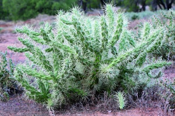
Image: Each branch of Hudson pear is thickly covered in long barbed spines. (Credit: Queensland Department of Agriculture and Fisheries)


