
Researchers show big improvement in flood map availability after storms.
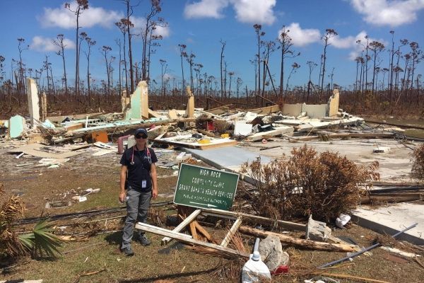
In major storms such as Hurricane Dorian, which initially posed grave threats to the southeastern United States before devastating the Bahamas, massive flooding can occur within a matter of hours. But it can take days or even weeks for a flood to recede. And a full assessment of where the damage is worst can take even longer, if surveyors can’t access the flooded areas.
Researchers at the University of Connecticut are developing a radar satellite-based mapping technique that they say dramatically reduces the time it takes to delineate the flooded areas — not only enabling first responders to be much quicker and more effective, but improving the ability of forecasters to more accurately predict the inundated area caused by future storms.
“When a satellite passes over, we’re able to very quickly quantify the impact and say what is the extent of the damage,” says Emmanouil Anagnostou, professor of civil and environmental engineering and director of the Eversource Energy Center, which is spearheading the project.
“This satellite-based method gives a very good first assessment of where the water is inundating. That’s a very important map, because emergency response people can take the map, overlay it on their infrastructure map, and then they can start making quick assessments of the damage.”
Continue reading at University of Connecticut
Image via University of Connecticut


