
Every year, the United States experiences dozens, if not hundreds, of natural hazard events that vary in size and impact from the incredibly large (like a hurricane or wide-spread flood) to the rather localized (like a sinkhole in a backyard)
Every year, the United States experiences dozens, if not hundreds, of natural hazard events that vary in size and impact from the incredibly large (like a hurricane or wide-spread flood) to the rather localized (like a sinkhole in a backyard). Regardless of the size or impact, every hazard event is unique, and they all provide an opportunity for USGS scientists to learn more about their causes and the best ways to help communities prepare for events, stay safe when they occur and recover once they are over.
This year, one of the more significant natural hazard events that garnered a lot of attention was the Ridgecrest earthquake sequence that started on the 4th of July in the Searles Valley in south-eastern California. USGS scientists were out in force to study this series of events in order to better understand the various dynamics of earthquakes like these so that information and data can be studied and analyzed in order to keep communities prepared and safe.
USGS work included conducting aerial and ground reconnaissance of the extensive surface rupture, deploying temporary seismic and geodetic stations to record aftershocks and coordinating efforts with military, state, local and academic partners.
The data collected and knowledge gained will help scientists identify which faults broke during the earthquake, determine the extent of faulting and surface displacement and locate areas of ground failure to better understand the earthquake and its aftershocks. Some of this information helps us refine the USGS National Seismic Hazards Model, which is a series of maps that reflect what we know about where shaking is likely to occur over decades — information that is used to develop building codes and design structures to withstand the expected shaking.
Continue reading at USGS.
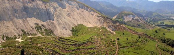
Image via USGS.


