
Firefighters in command centers worldwide routinely use data streams from NASA satellites to plan firefighting efforts. But those data are only the tip of the iceberg of NASA resources on fire.
If firefighters knew exactly how a wildfire was going to spread, they could work more efficiently and safely. But we can't forecast exactly where and how quickly a growing fire will move. The computer models used in fire forecasting have vastly improved over the last few decades, but all too often, people still die because a fire unexpectedly veered or accelerated. To continue improving fire forecasts, researchers need more data on how real fires spread and interact with their environment — but stepping in front of a raging wildfire to make a few measurements is always too dangerous.
Yet this past June, fire scientists got an opportunity to do just that. The occasion was a prescribed burn in Utah's remote Fishlake National Forest. For Adam Kochanski of the University of Utah in Salt Lake City, it was the first opportunity to test how well the fire forecasting model he has been working on for years would forecast a wilderness fire in the field. Called WRF-SFIRE, the model enhances the widely used Weather Research and Forecasting model (WRF) with a module simulating how fire spreads and interacts with local weather. WRF-SFIRE's development was partly funded by the Applied Sciences Program in NASA’s Earth Science Division.
With a little help from a colleague's smart phone, Kochanski produced three successful forecasts for the two-day burn on June 19 and 20, using WRF-SFIRE. It was an important milestone on the long road to giving firefighters more accurate forecasts. "I'm super-happy that NASA had faith in this whole idea," Kochanski said.
Continue reading at NASA
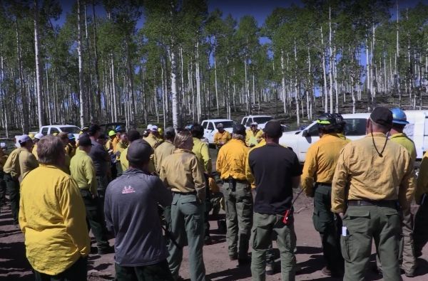
Image via NASA


