
NOAA's vast array of satellites help inform meteorologists to provide better and more accurate winter weather monitoring and forecasting.
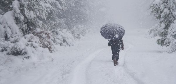
Winter is just around the corner, and NOAA’s U.S. winter outlook for 2019-20 is out. For meteorological winter, which extends from December through February, NOAA’s Climate Prediction Center forecasts warmer-than-average temperatures for much of the U.S., with wetter-than-average conditions most likely across the Northern Tier of the U.S.
As we move into the colder and snowy months of the year, NOAA’s next generation of geostationary and polar-orbiting satellites will be a critical source for monitoring and forecasting whatever weather winter throws our way.
Orbiting at 22,300 miles above the Earth, NOAA’s new series of Geostationary Operational Environmental Satellites (GOES-R) monitor and track the world’s weather — from eastern Australia to western Africa.
Several instruments onboard NOAA’s new geostationary satellites, GOES-16 and GOES-17, bring state-of-the-art observational capabilities, including the 16-band Advanced Baseline Imager (ABI) and the Geostationary Lightning Mapper (GLM). These sensors give scientists and forecasters better and faster weather data during the United States’ often-turbulent winter months.
Continue reading at National Environmental Satellite, Data, and Information Service
Image via National Environmental Satellite, Data, and Information Service


