
MIT geologists use paleomagnetism to determine the chain of events that resulted in the Himalayan mountains, with the support of MISTI-India.
According to Craig Martin, deciphering Earth’s geologic past is like an ant climbing over a car crash. “You’ve got to work out how the car crash happened, how fast the cars were going, at what angle they impacted,” explains Martin, a graduate student at MIT’s Department of Earth, Atmospheric and Planetary Sciences (EAPS). “You’re just a tiny ant wandering over this massive chaos,” he adds.
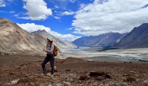
The crash site Martin is investigating is the Himalayas, a 1,400-mile mountain range that rose when the Indian and Eurasian tectonic plates scrunched together. “The mainstream idea is: There was Eurasia; there was India; and they collided 50 million years ago,” says Oliver Jagoutz, an associate professor in EAPS and Martin’s advisor. “We think it was much more complicated than that, because it’s always more complicated.”
Eighty million years ago, India and Eurasia were 4,000 miles apart, separated by an ancient body of water that geologists call the Neotethys Ocean, but Jagoutz believes there was more than just seawater between the two. He’s not alone. Many geologists agree on the existence of an arc of volcanic islands that formed on the boundary of a smaller tectonic plate, similar to the Mariana Islands in the Pacific Ocean. However, there is debate on whether these islands first collided with the Eurasian plate to the north or the Indian plate to the south. Jagoutz’s hypothesis is the latter.
Continue reading at Massachusetts Institute of Technology
Image via Massachusetts Institute of Technology


