
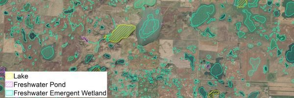
Wetlands are dynamic in nature, growing and shrinking within and between years in ways far less predictable than croplands, forests, or established urban areas.
The tools used to study U.S. wetlands on a broad scale often lack the kind of timely detail needed to truly understand what’s changing, when, and by how much. Land and wildlife managers or researchers who work in wetlands tend to start with hydrology datasets akin to snapshots in time, sometimes decades old and wildly out of sync with current conditions.
The Land Change Monitoring, Assessment, and Projection (LCMAP) Initiative at the USGS Earth Resources Observation and Science (EROS) Center promises satellite-derived data with the capacity to fill in critical gaps in those datasets.
LCMAP leans on the deep Landsat archive to characterize Earth surface change across the conterminous United States on an annual basis, from 1985 through the present, for every 30-by-30-meter plot of land in the country.
For wetland ecosystems, these data amount to an unparalleled historical record of landscape conditions, responsive to and representative of the seasonal and long-term fluctuations that pass unrecorded in typical wetland maps.
Continue reading at United States Geological Survey
Image via United States Geological Survey


