
Two friends from opposite ends of the Earth have created a world-first high spatial resolution atlas that maps the environmental characteristics of all the globe’s rivers and catchments.
HydroATLAS assists researchers and practitioners – such as country agencies or bodies like the UN – to address gaps in river or catchment protection methods and understand the human impact on freshwater ecosystems.
HydroATLAS was co-developed by Dr Simon Linke from Griffith’s Australian Rivers Institute and Associate Professor Bernhard Lehner and his team from McGill University’s Department of Geography in Montreal.
The development was also aided by Michele Thieme from World Wildlife Fund – a long-term collaborator of Dr Linke and Professor Lehner – who frequently uses their science to aid conservation projects in remote areas, such as the Congo Basin or Bhutan.
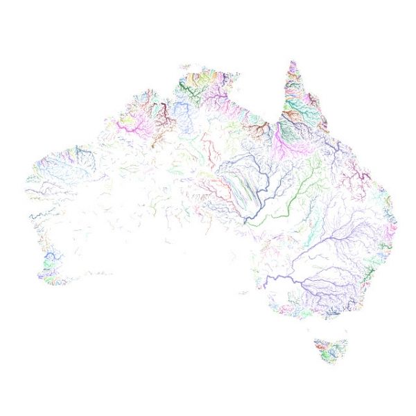
The HydroATLAS database is a standardised compendium that collates more than 50 environmental variables representing over 280 individual attributes into a single resource that allows detailed analysis of the factors that drive the hydrology and ecology of rivers and their catchments.
Continue reading at Griffith University
Image via Griffith University


