
Sometimes to understand the present, it takes looking to the past. That’s the approach coastal researchers, supported by the NOAA Climate Program Office Climate Observations and Monitoring (COM) Program, are taking to pinpoint the causes of extreme sea level changes.
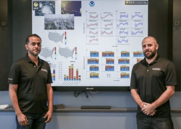
Using historical data from tide gauges that line U.S. coasts, University of Central Florida (UCF) researchers created an extreme sea level indicator that identifies how much of a role different major weather and ocean forces have played in affecting extreme sea levels in coastal areas around the country. They published their latest findings today in the journal Nature Scientific Data.
The researchers hope that further development of the indicator may one day allow scientists to predict when and where extreme sea level changes will occur. Indicators are measures that can quantitatively describe situations—in this case sea level rise.
“What this indicator does, which other indicators do not show, is how weather and climate interact with predictable tides to make up high sea levels that can be potentially dangerous,” said Thomas Wahl, NOAA COM Program-funded co-author and assistant professor in UCF’s Department of Civil, Environmental, and Construction Engineering and National Center for Integrated Coastal Research.
Continue reading at NOAA Research
Image via NOAA Research


