
For the first time, scientists have provided reliable regional estimates of land subsidence and water-level rise in the Ganges-Brahmaputra-Meghna delta.
For the first time, scientists have provided reliable regional estimates of land subsidence and water-level rise in the Ganges-Brahmaputra-Meghna delta. Depending on the region of the delta, water-level rise could reach 85 to 140 cm by 2100. The work, published in PNAS on 6 January 2020 by researchers from the CNRS, IRD, BRGM, La Rochelle Université, Université des Antilles and Bangladesh University of Engineering and Technology, should provide input for future impact studies and adaptation plans.
Although the Ganges-Brahmaputra-Meghna delta is the largest and most densely populated delta in the world, and one of the places most vulnerable to climate change, the extent and impact of water-level rise there remain poorly known. The area, which covers two thirds of Bangladesh and part of eastern India, is already regularly prone to flooding, favoured by intense monsoon rainfall, rising sea levels, river flows and land subsidence. However, it is difficult to disentangle these various factors. In addition, forecasts carried out so far have been based on highly localised measurements of water level.
To overcome these difficulties, the researchers analysed monthly readings from 101 gauges measuring water and sea levels across the delta. By aggregating the data over geographical areas in order to filter out local effects and offset quality differences between gauges, they obtained robust estimates for water-level changes. Between 1968 and 2012, water level increased by 3 mm/year on average, slightly more than global mean sea level rise (2 mm/year during the same period).
Read more at CNRS
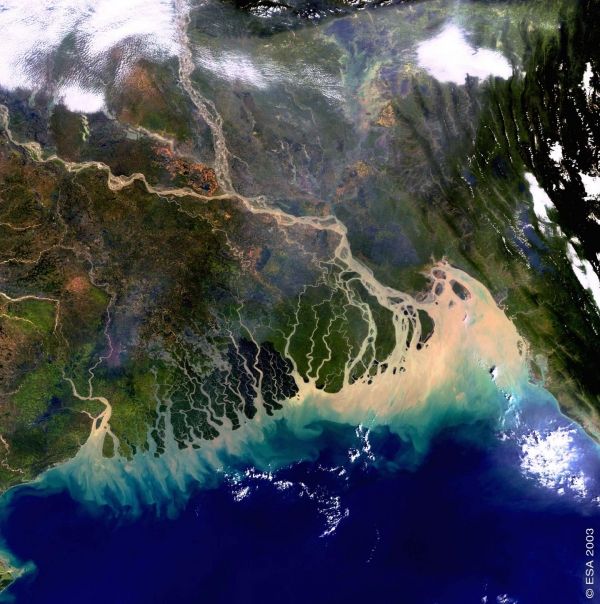
Image: The Ganges-Brahmaputra-Meghna delta as seen from the European Space Agency (ESA) Envisat satellite. The image was taken on November 8, 2003 and covers an area of around 633 x 630 km with a spatial resolution of 300 m. www.esa.int/ESA_Multimedia/Images/2005/03/The_Bangladesh_coastline_seen_by_Envisat (Credit: ESA, CC BY-SA 3.0 IGO (http://www.esa.int/spaceinvideos/Terms_and_Conditions))


