
The National Weather Service’s bulletins often mention when extreme weather deviates from normal.
The National Weather Service’s bulletins often mention when extreme weather deviates from normal. But normal is changing.
This time next year, the weather service’s 30-year average will roll over from patterns representing 1981 to 2010 to patterns established between 1991 and 2020. That shift means that an extra 2.5 inches of precipitation, less early winter snowfall, and warmer summer nights will all become normal.
The weather service issues these updates every decade to help the nation’s forecasters accurately communicate about their regions. At the same time, adjusting what counts as normal might obscure how global warming has changed climates around the country since the Industrial Revolution.
“Hopefully there will be some press around 2021 that the climate normals are changing, and just because we’ve re-established the baseline for what is normal doesn’t negate what came before,” says Jordan Gerth, a weather scientist who recently left the University of Wisconsin–Madison to join the National Oceanic and Atmospheric Administration in Washington, D.C. He still holds an honorary fellowship on campus.
Read more at University of Wisconsin-Madison
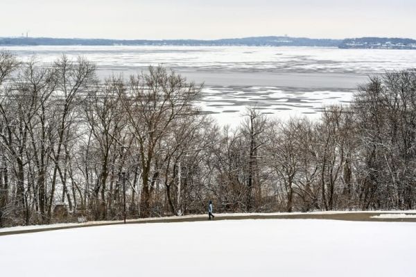
Image: Partially frozen Lake Mendota is seen from Observatory Hill on Jan. 13, 2020. (Credit: PHOTO: JEFF MILLER)


