
The same NOAA satellites that helped forecasters track weather and wildfires were also critical in rescuing a record 421 people from potentially life-threatening situations throughout the United States and its surrounding waters in 2019.
NOAA’s polar-orbiting and geostationary satellites are part of the global Search and Rescue Satellite Aided Tracking System, or COSPAS-SARSAToffsite link, which uses a network of U.S. and international spacecraft to detect and locate distress signals from emergency beacons aboard aircraft, boats and from handheld Personal Locator Beacons (PLBs) anywhere in the world.
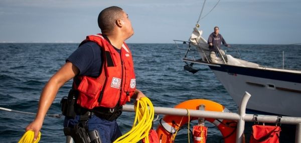
Of the 421 U.S. rescues last year, 306 were water rescues, 38 were from aviation incidents and 77 were from events on land, where PLBs were used. Florida had the most SARSAT rescues with more than 100, followed by Alaska with more than 50. The previous rescue record of 353 (total) was set in 2007.
When a NOAA satellite pinpoints the location of a distress signal in the U.S., the information is relayed to the SARSAT Mission Control Center at NOAA’s Satellite Operations Facility in Suitland, Maryland. From there, the information is sent quickly to Rescue Coordination Centers, operated either by the U.S. Air Force for land rescues, or the U.S. Coast Guard for water rescues. NOAA also supports rescues globally by relaying distress signal information to international SARSAT partners.
Continue reading at NOAA
Image via NOAA


